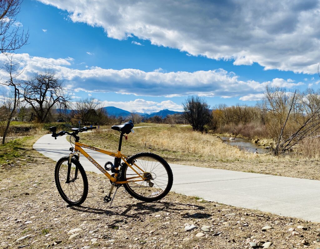
There are approximately 18 miles of recreation trail in Loveland that run through some very beautiful areas on the west side of town near Wilson Avenue, along the Big Thompson River corridor to the south and east, over and under city streets, along irrigation canals, through fields, and north along the west shore of Boyd Lake State Park, then back to the west through the natural wetlands. Approximately twenty miles of paved urban trail are planned with the goal of developing off-street trails that will encompass the perimeter of the city. Quarter-mile markers are located along a large portion of the trail to measure your distance traveled. Currently, these markers begin counting near the Wilson Avenue area and continue around to the Highway 287 Underpass (near 57th Street).


