Leaves have returned to the trees and flowers are in full bloom — it’s the perfect time of year to explore the natural spaces Loveland has to offer. Check out our favorite accessible urban rec trails, a new ability-inclusive park (opening soon), local lakes and a nearby Natural Area that welcomes adventurers of all abilities and interests.
Paved Pathways
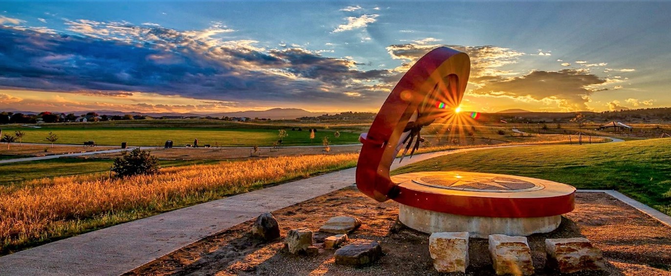
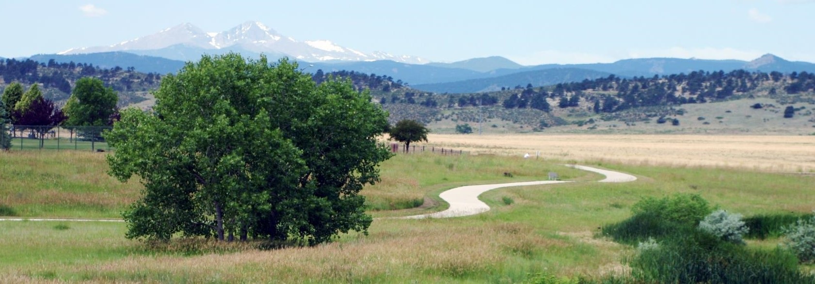
Loveland Recreation Trail System
Loveland’s Recreation Trail System includes 31 miles of paved trail encircling Loveland, while also connecting to other regional trails, including the 4.4-mile Long View Trail, connecting Sunset Vista Natural Area in Loveland to Cathy Fromme Natural Area in Fort Collins, and the Colorado Front Range Trail, connecting Loveland’s Recreation Trail with Fort Collins’ Fossil Creek Trail.
How to get there: Pick up a trail map at the Loveland Visitor’s Center, Boyd Lake State Park, Chilson Recreation Center, local bike shops, or the Parks & Recreation administrative office, or download a map online. In addition, COTREX, Colorado’s official trails app, is a great resource for the state’s entire network of trails.
Accessibility: The Loveland Recreation Trail is partially handicap accessible from several locations, including Chilson Recreation Center, and is designed to accommodate many types of recreation uses.
Of note: If you’re in need of an incentive to nudge younger explorers, print out a Ticket to Trails Passport, then visit each trail and take your ticket to the City of Loveland Parks & Recreation office (500 E. Third St., Suite 200) for a prize. They’re open Mon. – Fri., 8 a.m. – 4:30 p.m.
Loveland Loop Trail
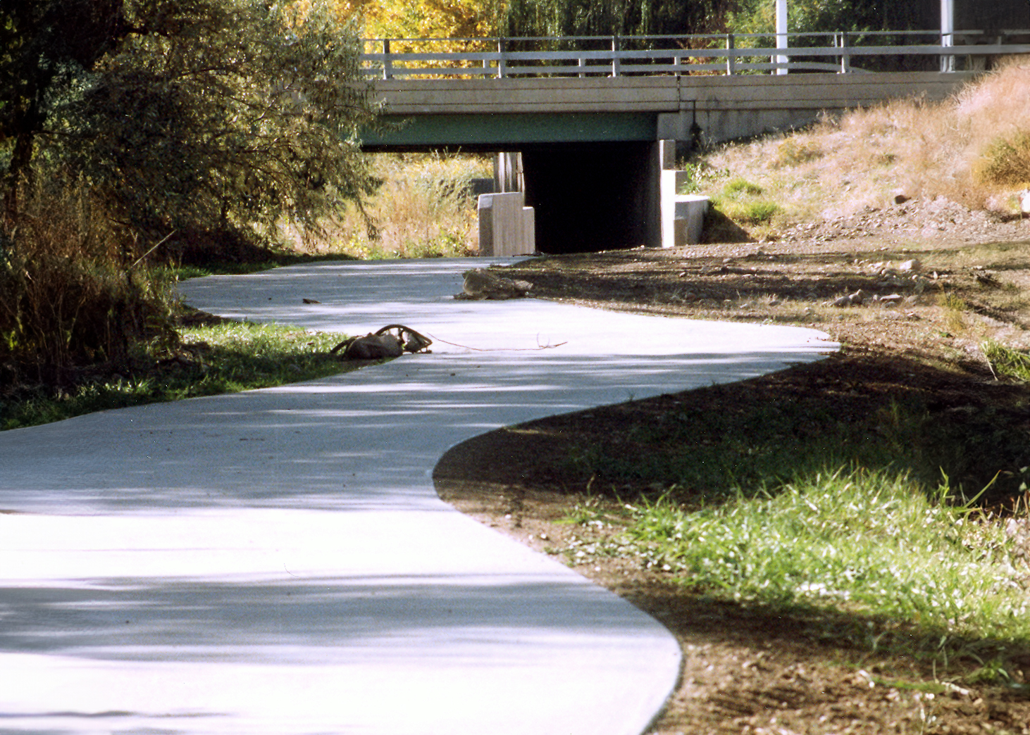
Loveland’s scenic 21-mile Loop Trail follows the Big Thompson River corridor, dipping under city streets, over bridges, along irrigation canals and bordering the western shore of Boyd Lake State Park. The trail offers a unique “insiders” peek at the city from a perspective many visitors are unaware of. Traverse urban prairies and meander along wetland meadows, as the Loop Trail connects parks, natural areas, neighborhoods, downtown and many other destinations within the community.
How to get there: The Loveland Loop Trail includes six trail sections, which are designated on the trail system map: Big Thompson River Trail; Civic Center Trail; Boyd Lake Trail; North Trail; Westside Trail; and Centerra Trail.
Soft-Surface Trails
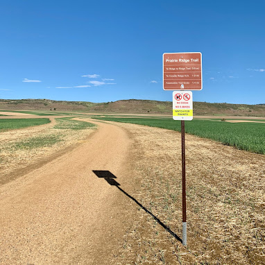
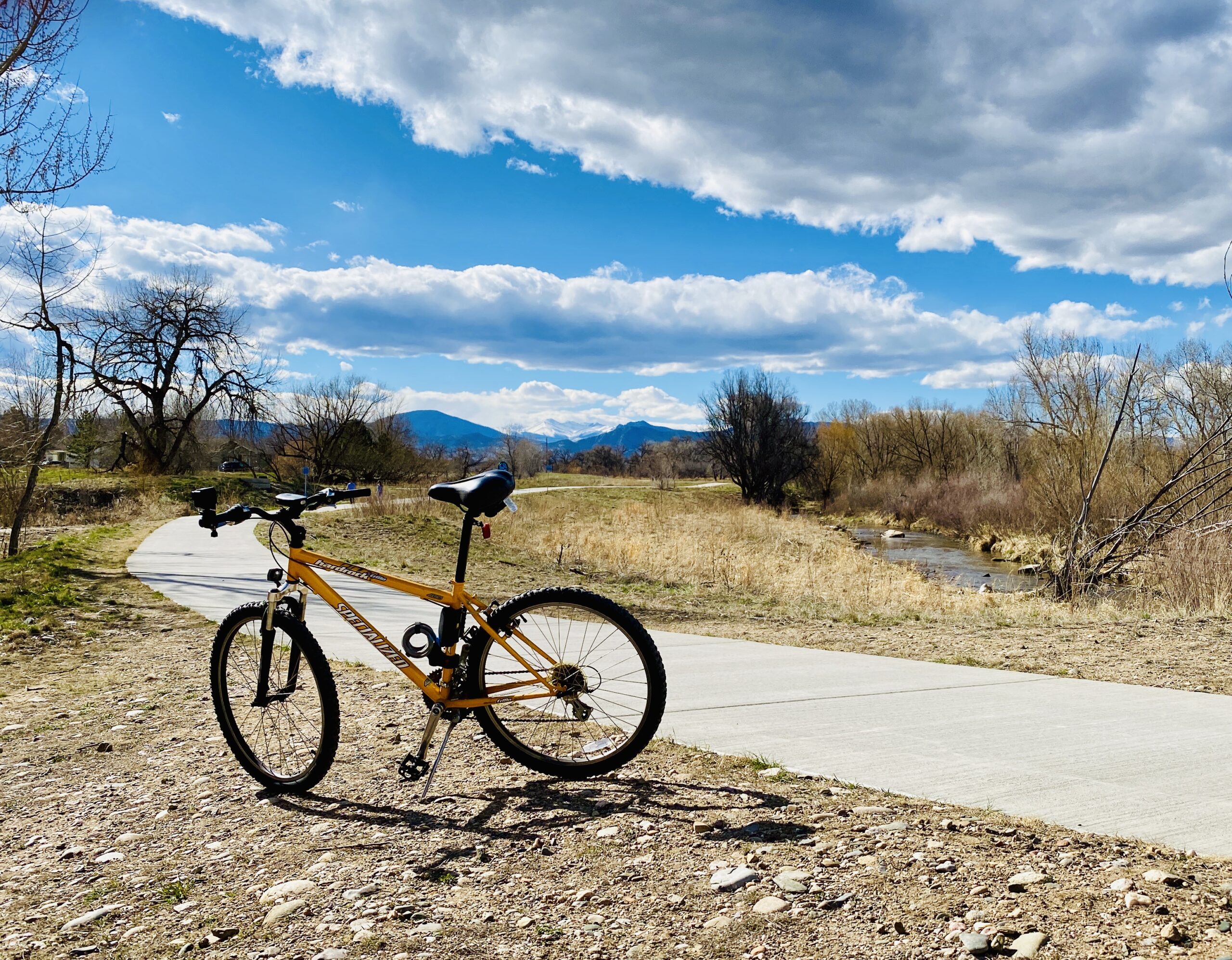
Loveland is home to over 20 miles of soft-surface trails, located within local and regional natural areas, and in other urban and suburban sections of the community.
How to get there: The City of Loveland provides an online list of soft-surface trails in and around Loveland, as well as links to each with detailed information about topography, geography, restrictions and more.
Parks
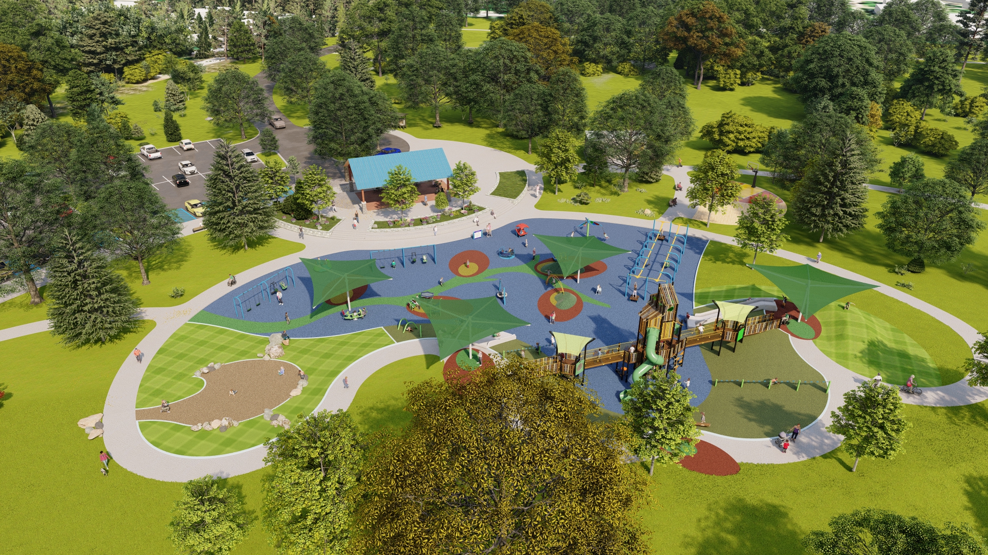
Loveland’s first inclusive neighborhood park is currently under construction, promising an ADA-accessible trail and natural area space dedicated to serve individuals with disabilities along with their families, friends and caregivers. Willow Bend Park will feature a shaded universal access playground, sport court, play field, picnic patio and restroom facility. At 160 total acres, the park also includes a 10-acre space between the active play area and waterfowl habitat for programmed and independent passive recreation, environmental education, nature-play and an accessible fishing pier, plus a handicap accessible trailhead for the East Big Thompson Trail, part of the Loveland Loop Trail.
How to get there: Willow Bend Park is located at 2538 E. 1st St. in Loveland. Completion of Willow Bend Park is anticipated for this spring. View a map, renderings and more information about playground equipment on the dedicated webpage.
Of note: The Willow Bend playground was designed using the 7 Principles of Inclusive Playground Design, which provides best practices for building a play environment that considers the needs of the whole child. Design features address and support physical disabilities, and social-emotional, sensory, cognitive and communication development.
Lakes
Lake Loveland
Cool off under the trees surrounding Lake Loveland, cast a line and then stroll through the renowned Benson Sculpture Garden, an all-access public garden bordering the lake that’s home to 187 unique sculptures on permanent display. Nearby North Lake Park offers fishing, the Buckhorn Railroad train, playgrounds, tennis courts, picnicking, an amphitheater and more, with handicap accessibility.
How to get there: The city’s namesake lake, Lake Loveland, is located in the center of town. North Lake Park is located on the north shore of Lake Loveland at 2750 N. Taft Ave.
Of note: The lake itself is private, however shore access for fishing is allowed at North Lake Park and along the south shore of the lake along Eisenhower Boulevard.
Pinewood Reservoir
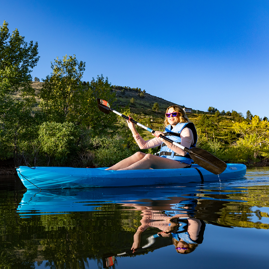
Pinewood Reservoir allows hand-launched watercraft, including rafts, kayaks, belly boats, canoes, windsurfers, sailboards and SUPs. There are also two dirt-surface trails open to hikers, bikers and horseback riders. Both trails are leashed dog friendly. An entrance permit is required.
How to get there: Pinewood Reservoir is located southwest of Loveland off of U.S. Hwy 34, adjacent to 177-acre Ramsay-Shockey Open Space.
Accessibility: The area features a ¼-mile wheelchair-accessible boardwalk starting at Pinewood Reservoirs’ Blue Mountain Trailhead.
Flatiron Reservoir
Flatiron Reservoir is a quiet, 47-acre reservoir surrounded by 200 acres of public lands is a popular spot for anglers, picnickers and family camping, where swimming and boating are not allowed.
How to get there: Located a few miles northwest of Carter Lake off of County Road 18E.
Accessibility: Flatiron Reservoir is handicap accessible.
Carter Lake
Carter Lake is a 1,100-acre reservoir surrounded by 1,000 acres of public lands. Fish (for walleye, trout, largemouth bass), sail, water ski, picnic, SUP, swim, scuba dive and rock climb. Carter Lake Marina has a restaurant, supply shop and rental outfit for renting skis, boats and more.
How to get there: Carter Lake is located southwest of Loveland off U.S. Hwy 34, on County Rd. 31.
Accessibility: A handicap accessible trail is located on the south shore of the lake.
Boyd Lake
Located in Loveland, within Boyd Lake State Park, Boyd Lake allows all types of watercraft – ski boats, fishing boats, jet skis, sailboats, canoes, SUPs – on its 1,700 surface acres of water. Visitors will also find a marina (for boat, canoe, kayak, paddleboat and wave runner rentals, gas and supplies), a sandy beach and pavilion, fishing piers and boat ramps, picnic areas and showers.
How to get there: Boyd Lake is located just north of Loveland at 3720 N. County Road 11-C.
Accessibility: Boyd Lake offers ADA-accessible facilities, an ADA-accessible dock for fishing and relaxing, and a paved handicap accessible trail. A State Park Pass required for entrance.
Open Space
River's Edge Natural Area
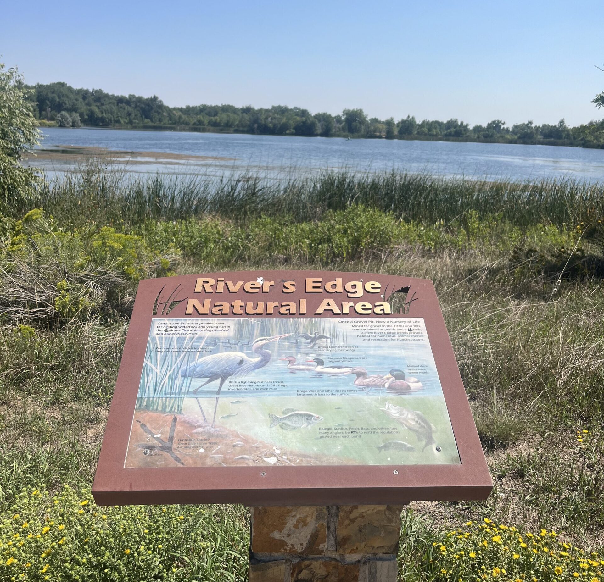
River’s Edge Natural Area features five ponds ideal for fishing. This 163-acre Natural Area situated alongside the Big Thompson River also includes 3.8 miles of natural-surface trails for walking, bicycling, fishing access and wildlife viewing, as well as three picnic shelters, an amphitheater, environmental education stations and restrooms.
How to get there: River’s Edge is located south of First Street and east of Taft Avenue at 960 W. First St.
Accessibility: Two of River’s Edge Natural Area’s five ponds – Bass and Dragonfly – feature ADA-accessible fishing docks. There are two ADA-accessible fishing docks on Bass Pond and one on Dragonfly Pond.
Of note: There are interpretive signs and environmental education stations throughout the site, plus two native plant demonstration gardens installed and maintained by community volunteers and members of Colorado Native Plant Society.